The creation of the Geographic Information System (GIS) for Bulgarian ports is a step towards building a functional e-government and modern digital administration.
This was stated by Deputy Minister of Transport, Information Technology and Communications Petar Kirov during the public presentation of the system’s prototype.
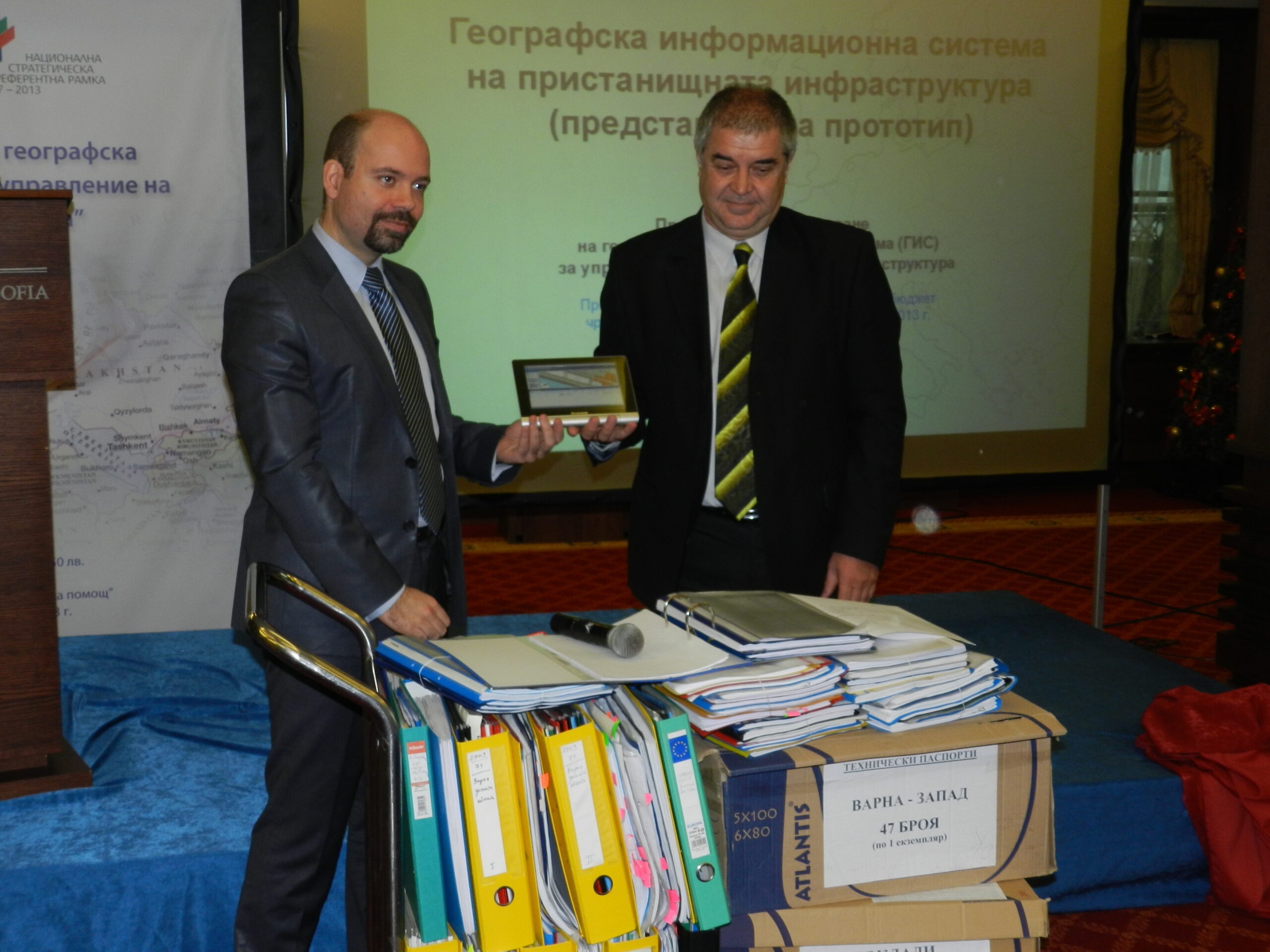
Project BG 161PO004-5.0.01-0059 “Design and Implementation of a Geographic Information System (GIS) for Port Infrastructure Management” is being implemented by the State Enterprise “Port Infrastructure” and is financed under Priority Axis “Technical Assistance” of Operational Programme “Transport” 2007 – 2013. Several important stages, forming the overall vision of the future geographic information system for Bulgarian ports, have already been completed: an analysis of existing information systems and databases within the State Enterprise “Port Infrastructure” has been prepared; the system’s architecture has been developed, and almost 70% of the existing data and registers for the ports have already been processed. The procedure for preparing new cadastral and specialized maps for the territories is ongoing. The surveying of port infrastructure facilities has been completed.
By the end of November 2013, the development of a system prototype was completed, which implements the necessary basic functionalities:
input and editing of spatial information;
automatic generation of reports and analyses;
the ability for remote workstations in the regional units of the State Enterprise “Port Infrastructure” to access data stored in the system;
Ability to create and maintain a digital drawing archive;
Maintaining a history of inspections of port infrastructure facilities for effective control of their condition;
The State Enterprise “Port Infrastructure” manages the property of 15 port terminals located in the Bulgarian part of the Danube River and 11 along the Black Sea coast. Their total area is 6,550,000 sq.m.,” Miroslav Petrov stated during the presentation of the system’s prototype to journalists, specialists, and experts from state institutions.
Geographic Information Systems are at the core of spatial information infrastructure. Sharing data and information, not only at a national but also at a global level, has been one of the trends in communication technologies over the last decade. Timely access to up-to-date and accurate information increases efficiency in the management of entire sectors, assists management in making informed decisions, and contributes to greater transparency, publicity, and public dialogue. GIS technology supports the operations of some of the largest and busiest ports in the world, including those in Singapore, Los Angeles, Miami, Amsterdam, San Diego, and many others. The Geographic Information System for Bulgarian ports will be completed by the end of 2014.
Project BG 161PO004-5.0.01-0059 “Design and Implementation of a Geographic Information System (GIS) for Port Infrastructure Management” has a total value of BGN 5,878,800 and is financed by the European Regional Development Fund and the state budget of the Republic of Bulgaria through Operational Programme “Transport” 2007 – 2013. The beneficiary is the State Enterprise “Port Infrastructure,” and the contractor is the “GeoPort” consortium (a union of “TechnoLogica” EAD, “Intergraph Italia” OOD, and “Geotechnoengineering” EOOD).