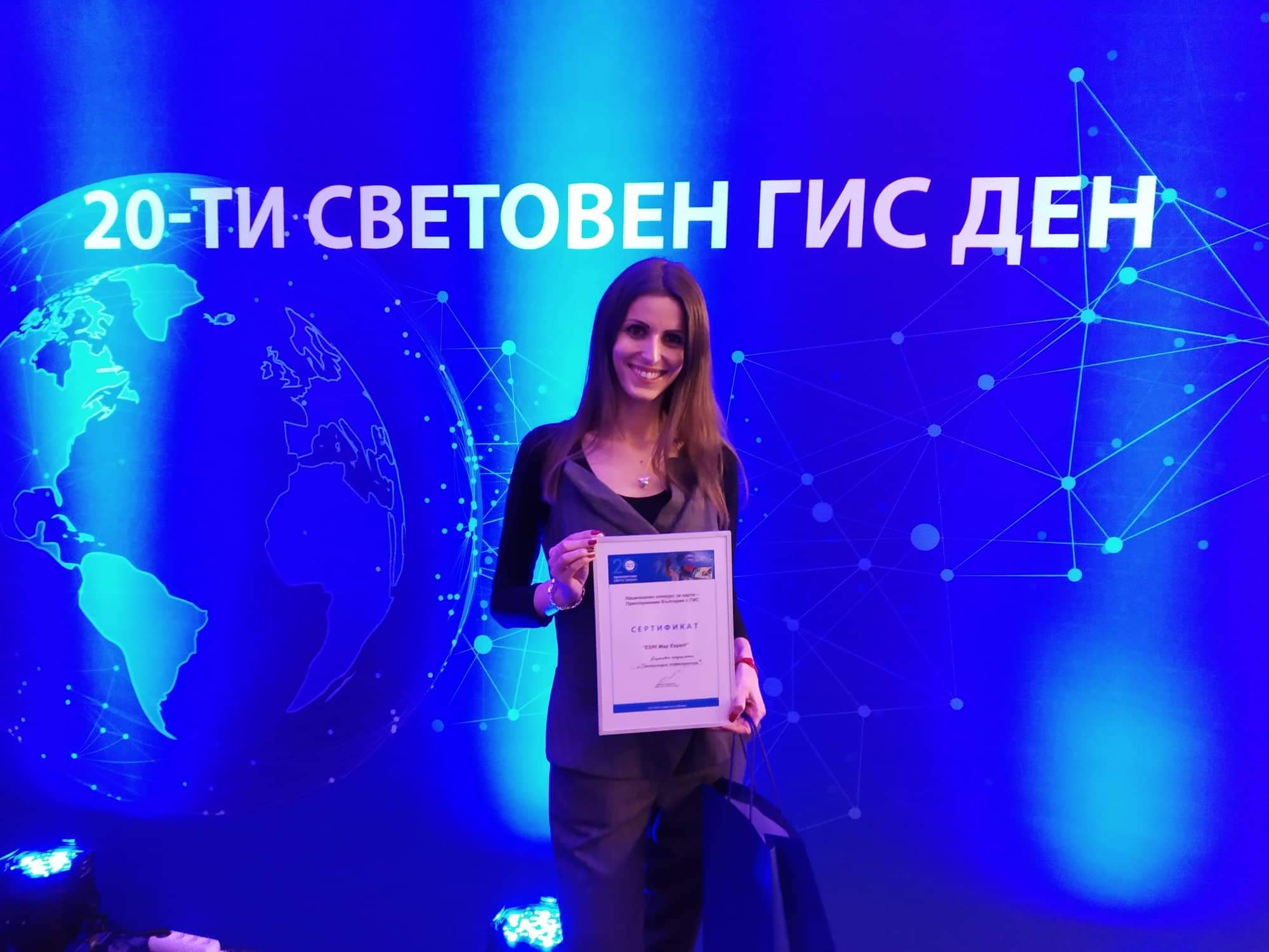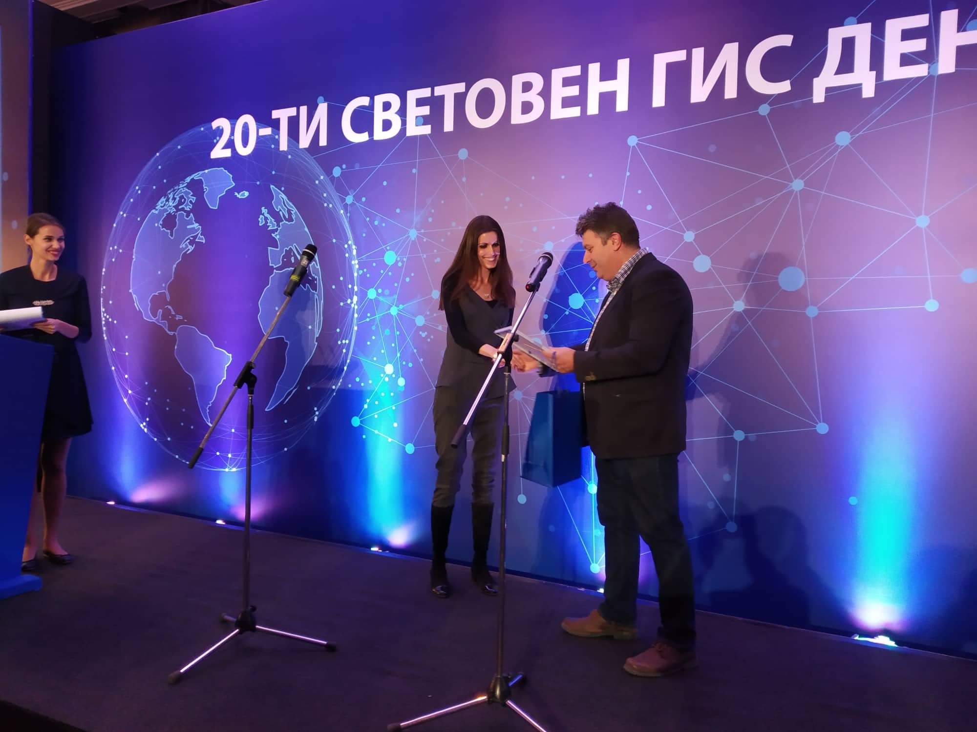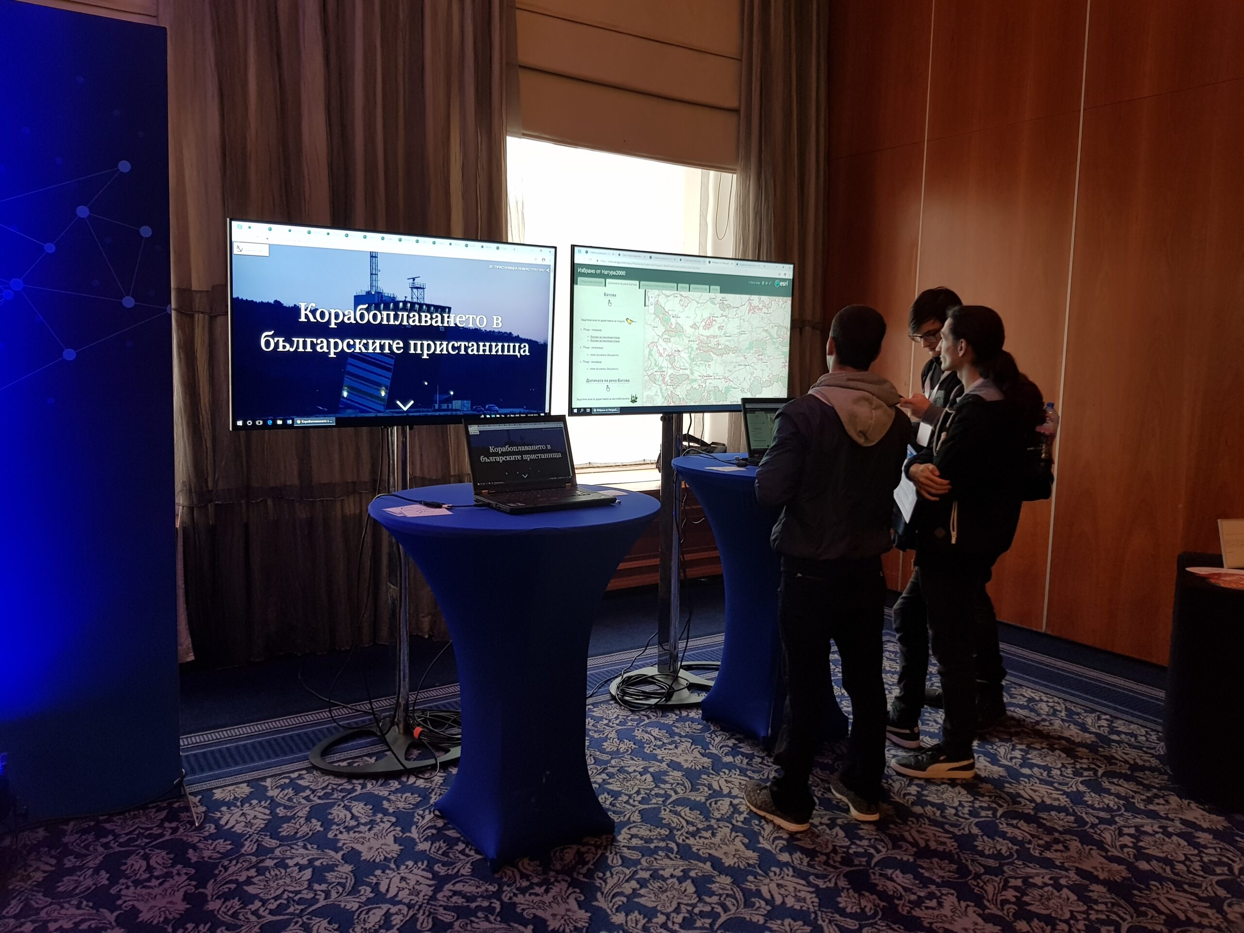
The modern interactive map showcasing maritime navigation in Bulgarian ports earned the Bulgarian Ports Infrastructure Company (BPIC) an award at the 20th World GIS Day. The recognition came in the “Travel and Tourism” category of the national map competition titled “Rediscovering Bulgaria with GIS”.
The map highlights BPI Co.’s high-tech and advanced vessel traffic management systems, as well as their timeless predecessors with eternal, undying charm – the lighthouses. The award was received by Mariela Ganchovska, Head of Public Relations and Protocol Department.
Interactive maps help us tell an exciting story in a new way by combining various web maps with text, photos, and multimedia content. The award-winning maps will be published on National Geographic Bulgaria’s website.
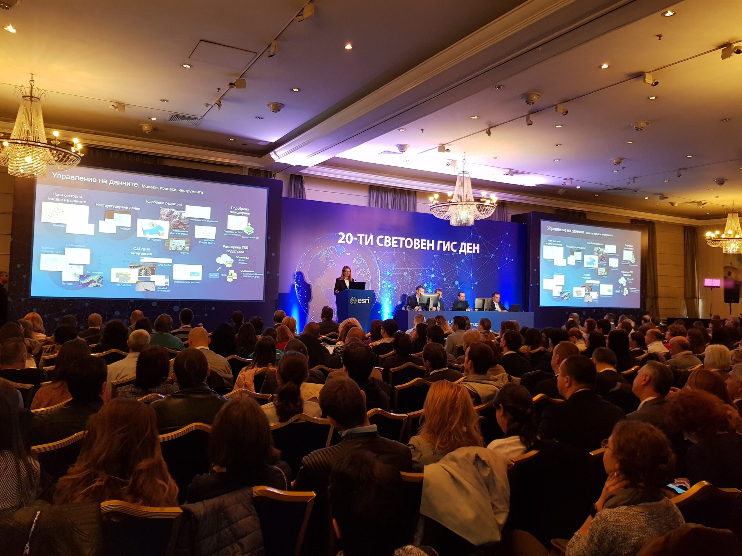
The grand 20th anniversary of World GIS Day was celebrated on November 14 in Sofia, where hundreds of global experts gathered to present the latest developments, solutions, and best practices in Geographic Information Systems and their applications across various fields. The event was officially organized by ESRI Bulgaria, the leading company in GIS technology.