For the ninth consecutive year, experts from Bulgarian Ports Infrastructure Company (BPI Co.) are participating in the celebration of World GIS Day as equal members of the global GIS community. BPI Co. has been using Geographic Information System (GIS) for port infrastructure management for seven years, with system development beginning in 2013 and implementation completed in 2014.
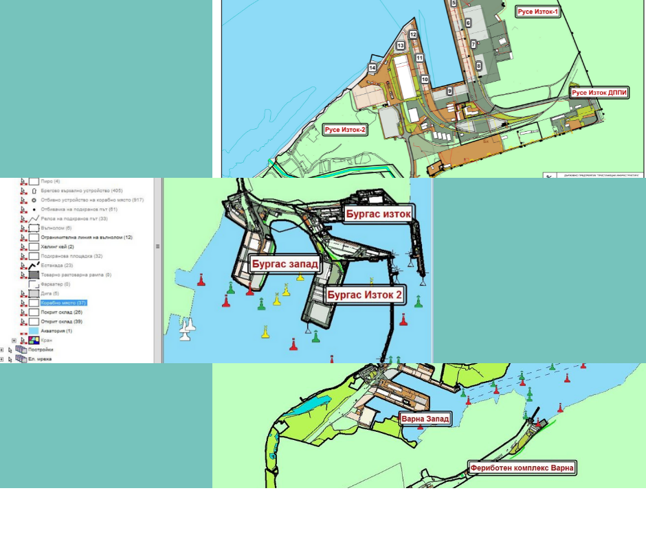
BPIC’s GIS maintains spatial and attribute data for state-owned public transport port terminals. Information is available for areas, buildings, outdoor and indoor warehouses, facilities, road and rail networks, navigational service equipment, adjacent waters, and much more.
Through its mapping functionalities and ability to perform spatial analysis and queries, the GIS system has established itself as a valuable tool for BPI Co., both in inventorying and maintaining existing infrastructure, and in making decisions related to future investment plans and projects.
The system’s data is organized into 14 categories, each containing a set of spatial layers for different types of facilities and their information. The total number of layers in the system exceeds 140. In addition to spatial information about engineering and communication networks, each object carries attributes with technical data.
The GIS Day celebration was first held in 1999 during World Geography Week. Since then, every third Wednesday in November, over 700 events are held in more than 74 countries worldwide. World GIS Day is not just an event, but a global movement connecting universities, government institutions, schools, non-governmental organizations, and professionals worldwide, united by the desire to expand public knowledge about GIS applications in the world we live in.